The Oregon Trail in Idaho:
Following the Snake River Plain
The Oregon Trail enters Idaho on the high desert in the extreme southeastern corner of the state. The trail then winds northwest along the Bear River, passes through present-day Pocatello, and jags west to meet the mighty Snake River that carves a shallow U across the southern portion of the state. Pioneers had been on the trail nearly two months when crossing into present-day Idaho, plenty of time for excitement to fade from the start in Independence. By now the pioneers had incurred mechanical failures, lightened loads by tossing away many personal possessions and witnessed too many human tragedies along the trail.
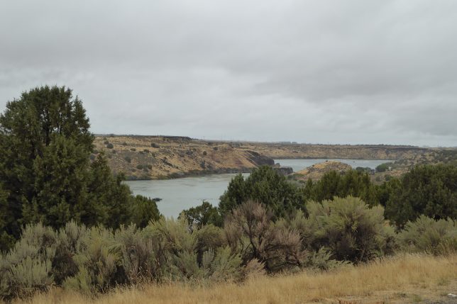
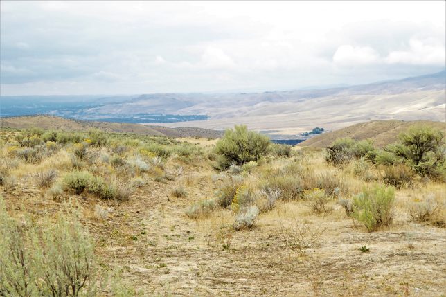
Unlike the friendly Platte and North Platte, the Snake River had cut deep canyons that prevented pioneers from gaining easy access to water. The rugged canyons also made it impossible for wagon trains to cross the river until much of the loop had been traversed and pioneers had arrived at Glenns Ferry, west of present-day Twin Falls. Here river banks eased into the water and wagon trains could utilize three islands to facilitate a crossing to the north bank. Three Island Crossing State Park offers camping, a museum and an excellent view of a hillside cut where wagons headed for the river crossing. Northwest of the river crossing, two routes were utilized by pioneers on their way to Oregon. The northern alternate left the river and headed cross-country toward present-day Boise. The southern route continued along the Snake and connected with the northern trail in present-day Oregon. Following the north alternate means driving on Interstate 84, not a pleasant thought, although Boise is always a pleasant place to visit. Choosing the south alternate requires leaving the Interstate at Mountain Home and following Highway 78 that closely parallels the old trail. Among interesting Oregon Trail sites in Idaho are:
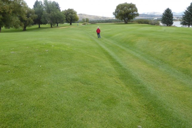
1) Soda Springs – A short distance into the state is one of the most unexpected and pleasant locations on the trail. Soda Springs was the site of numerous springs of carbonated water that some pioneers said tasted like beer. What could be more welcome than free beer after a hot and dusty day on the trail? Soda Springs is also home to one of the more unusual experiences for present-day travelers. On the north side of town, Oregon Trail Golf Course offers what one prominent writer called “the most delightful walk of the Oregon Trail.” A major swale cut 170 years ago by wagon trains heading west traverses the golf course. Walking along the swale is surely one of the most magical experiences of this trip. View our video of Oregon Trail ruts at the golf course
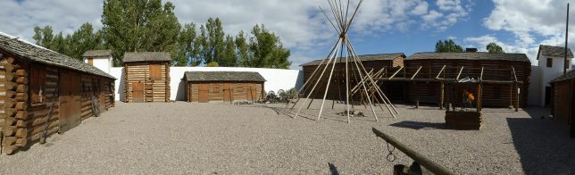
2) Fort Hall – Originally established in 1834 as a fur-trading post, Fort Hall became a major supply point for emigrants traveling the Oregon and California Trails. Although the original Fort Hall is long gone (the original site is on the Fort Hall Indian Reservation and permission is required for access), a full-size replica constructed in the 1960s is open for visitation from mid-April through September.
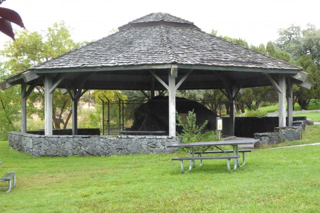
3) Register Rock – A state historic site preserves a pioneer campground where emigrants etched their names on large basalt boulders. The site is now a day use area that is part of Massacre Rocks State Park. Across the interstate, visitors can view deep trail ruts northeast of the park visitor center that houses trail exhibits. Interpretive panels have been placed throughout the park.

4) Three Island Crossing – With steep cliffs surrounding most of the Snake River, wagon trains were limited in where they could cross to the north bank. Here the crossing was made easier by three strategic islands emigrants could use in bringing their wagons to the north bank. A diagonal cut down a bluff on the south side of the river is visible from the north bank where ruts exit the river and head north past an interpretive center. The ruts are in Idaho’s Three Island Crossing State Park. The park offers two attractive campgrounds. View our video of Three Island Crossing
5) Bonneville Point – Here travelers can stand on the spot where Captain Benjamin Bonneville and members of his expedition observed the valley he named Les Bois, that would become the site for the city of Boise. Trail ruts beside an interpretive pavilion descend to the Boise River. The site, operated by the Bureau of Land Management, is about fifteen miles southeast of Boise and four miles east of Interstate 84. View our video of Bonneville Point