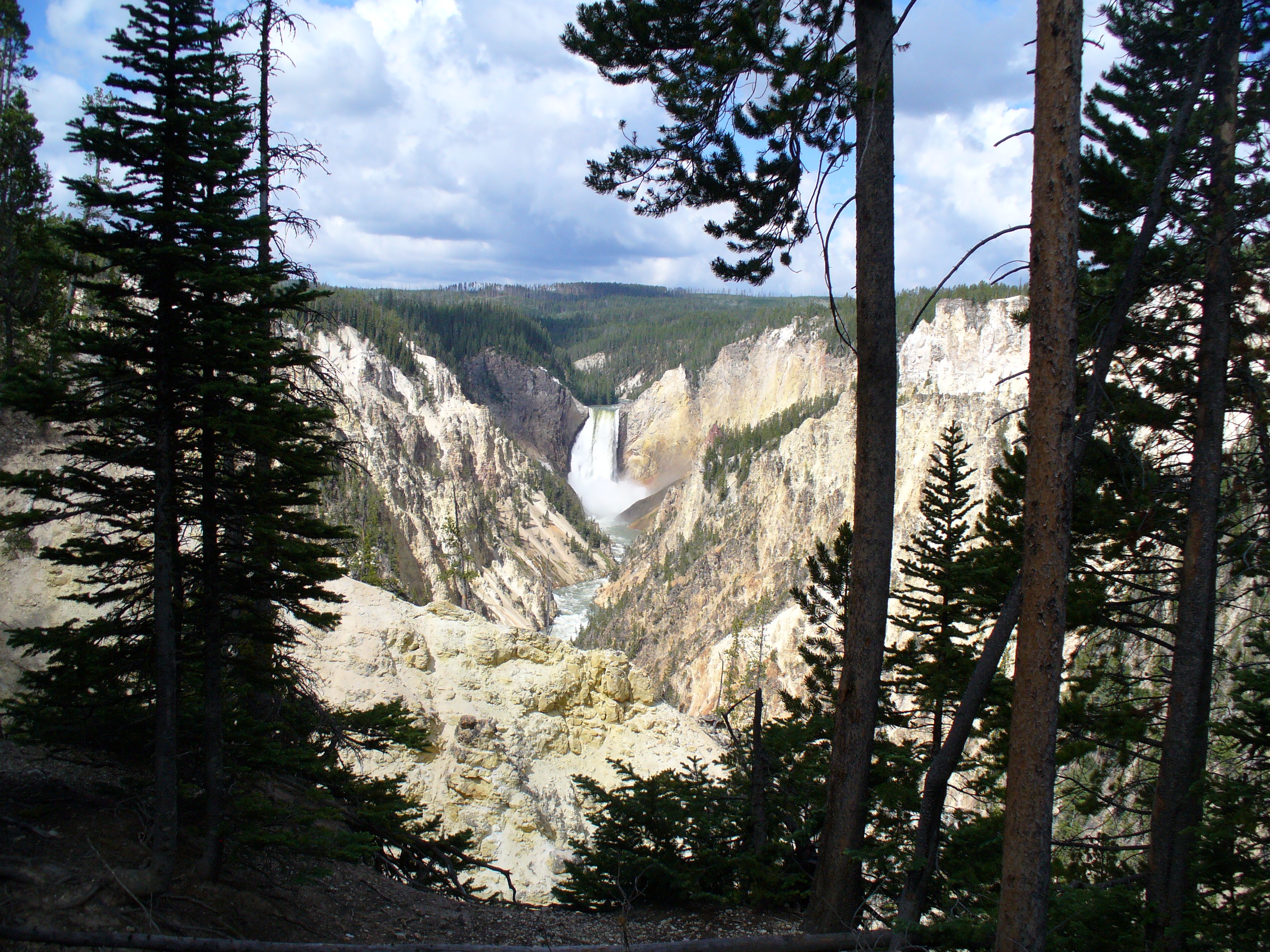
The Oregon Trail in Wyoming:
Crossing the Rocky Mountains

The Oregon Trail enters southeastern Wyoming along the North Platte River a short distance after passing through Mitchell Pass at Scotts Bluff. The trail continues northwest into central Wyoming and present-day Casper before separating from the North Platte and heading southwest across the desert toward the Rocky Mountains. This is beautiful, sparsely populated country. Southeastern Wyoming boasts several interesting trail landmarks. Further across the state is famed South Pass whose discovery made possible the trip by wagons across the mountains. The pass had been discovered decades earlier by fur traders returning East from the fur trading post, Fort Astoria. Southwestern Wyoming was the point where pioneers traveling the Mormon Trail separated from emigrants headed for Oregon. Wyoming was a difficult trek for the wagon trains headed to Oregon, California, and Utah. High altitudes, long stretches without water or food for livestock, and major mountain grades resulted in a tough stretch of travel for the pioneers headed west.
Among interesting Oregon Trail sites accessible in Wyoming are:

1) Fort Laramie – A major stop for emigrants heading west, Fort Laramie (previously known as Fort William and Fort John) was established in 1834 as a fur trading post utilized by Indians, traders, and trappers until the arrival of the first emigrants in the early 1840s. The fort was purchased in 1849 by the government for use as U.S. Army post. Fort remains have been restored and it is operated as a national historic site by the National Park Service. Visitors can walk among the buildings, view an audiovisual presentation in the visitor center, and enjoy living history presentations presented by volunteers and park personnel. Fort Laramie has always been one of our favorite stops when traveling west. View our video of Fort Laramie.

2) The Guernsey Ruts – West of Fort Laramie marshy ground surrounding the North Platte forced wagon trains across a ridge of soft sandstone through which they carved ruts up to five feet deep. No site on the Oregon Trail illustrates the difficult route and is more impressive than the Guernsey Ruts. Preserved as a state historic site, the ruts are easily reached via a short paved walking trail. The site is three miles south of the small town of Guernsey that surprisingly boasts a city campground and nine-hole golf course. View our video of the Guernsey Ruts.
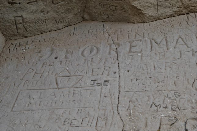
3) Register Cliff – Nearby Guernsey is Register Cliff where emigrants carved their names and dates (and sometimes their hometowns) into the soft sandstone cliff. Much of the sandstone has been defaced by more recent visitors hoping for immortal fame, but pioneer inscriptions remain along a protected area along the far end of the cliff. View our video of Register Cliff.

4) Independence Rock – Said to be the most-noted trail landmark west of Fort Laramie, Independence Rock is a 130-foot tall granite dome near which many emigrants camped on their way west. The rock is approximately half way between the Missouri River and the Pacific Ocean and pioneers generally hoped to reach this point by July 4th. Trail ruts are clearly visible beneath a footbridge near the parking lot. Inscriptions are visible to visitors who climb to the summit of the rock.
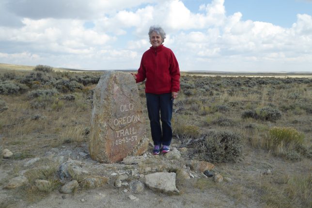
5) South Pass – A 20-mile wide, gently-sloping gap in the Rocky Mountains, South Pass allowed westward-bound wagon trains to avoid rugged mountain terrain when crossing the continental divide. The discovery of the pass decades earlier by fur traders returning east from the West Coast made wagon travel on the Oregon Trail possible. A county road off Wyoming 28 leads to a segment of the original trail at South Pass.

6) Fort Bridger – In the extreme southwestern corner of present-day Wyoming, Fort Bridger served as a supply center for pioneers on the Oregon, California, and Mormon Trails. This is the point where the Mormon Trail split from the Oregon and California Trails which headed north. The fort was operated by famed mountain man Jim Bridger who with a partner built the fort in 1843 following a decline in the fur trade. Ownership was assumed in the 1850s by the Mormons who subsequently burned the fort that was taken over by the military. Fort Bridger is now operated by the state of Wyoming as a state historic site. Visitors can walk the grounds, tour the buildings, and explore the museum. The Lincoln Highway, the country’s first transcontinental highway, is just outside the state historic site.